Finding my way there
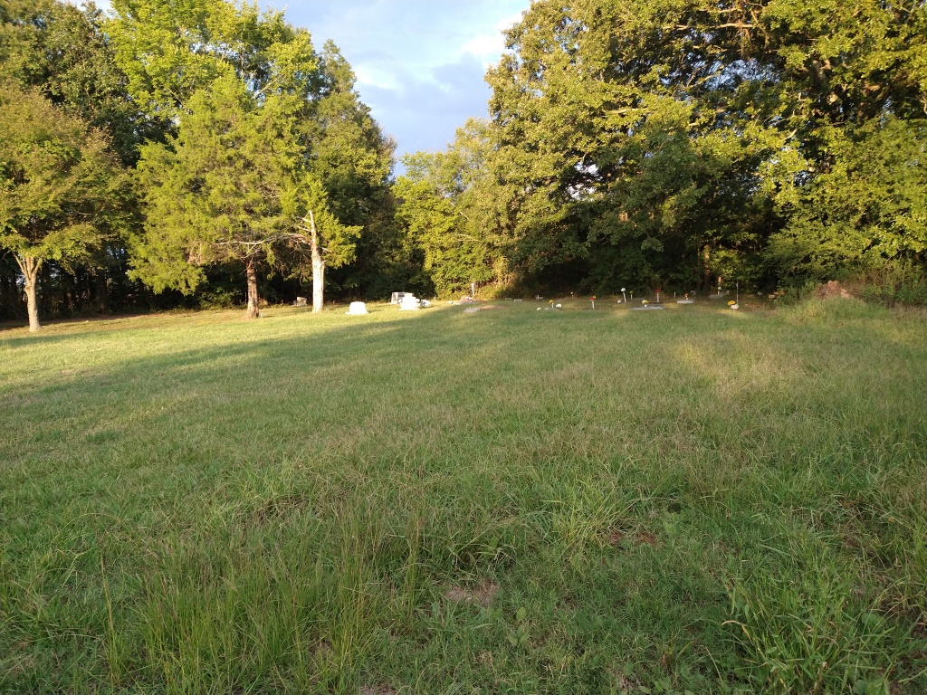
This is one of those locations that are just where they ought to be. The road to it is named for the church, Jerusalem Church Road. At the end of this little road is a row of trees and a wide, cleared area just before the fields begin. The cleared lot is packed dirt and gravel, easy enough to park on before making my way to the secluded spot. The cemetery is surrounded by a rice field and thickly grown with trees and brush. It’s been spared the fate of many cemeteries. The southeast and southwest corners are marked with palms, a common plant found on old home and church sites.


These trees and high grass mark the resting place of many, most are unmarked. I found only 8 headstones, only one physical record of a person who is there with no marker, and a few stories from locals that there are many, many more in this small area. It is likely that over time the cemetery boarders became smaller as the farmland around it grew.


The land is currently owned by the Walt family that have been farming the area for decades. I was able to speak with Mrs. Walt recently about the property. I sat with her in her nearby home as she told me of the last funeral she witnessed there, perhaps in the 1960s. For many years she and her family kept the cemetery mowed and reported only ever finding a few headstones. She hinted at the existence of a few more cemeteries that have been forgotten in the immediate area. I thanked her for her time and she filled my water jug before I left her house. The day was still getting hotter and I could not have made my way out there without more water. I am grateful for her help so far and I hope to speak with her again soon.

To the west of the cemetery the road clearly continues into the tree line. A few yards past the trees the remains of the church can be found. This spot would easily be missed in the midsummer growth, but in winter the pillars of brick and wood walls make a striking contrast to the scenery. The front steps still stand in the same place it, being made of heavy material. Just to the left of the steps you can see what was left of the steeple, which would have held the church bell. As I explored the area I could imagine a young couple being married here and posing for photos on the front steps. I’m sure pictures like that exist somewhere and I hope to find them someday to complete the story of this place.


History of the Land
As far as I can tell this church and cemetery have existed since at least 1918 and very likely longer than that. The location does not appear on the 1935 map, but must have existed because the oldest headstone is from 1918. It does appear on the 1936 and 1964 map. In 1910 the land was owned by William and Sallie Allen, but changed hands many times since then. The road that leads to the church did not have many homes on it and seemed to stand very much alone and surrounded by crops. One of the reasons churches fall out of use is because the local people move away from the church. The people in this area likely moved to other states or just closer to the nearest town for convenience. With the church located down a gravel and dirt road several miles from town would discourage people from attending.
A short history of some of the people
One of the names found in this cemetery was imprinted on a metal plate used to mark a grave. It had only the name of the person, the birth and death years, his age, and the name of the funeral home. Jufo Foxie (1876-1961) was 84 years old and buried by the Miller Funeral Home. That name is something I’ve never seen before and I knew that it would stick out on the genealogical websites. Mr. Foxie was pretty easy to find in the available records, Jufo is not a common name. I learned many interesting things from his name that lead me down a winding road of immigration and farming. Jufo Foxie was the son of a Chinese immigrant, Willie Foxie, who likely came to Arkansas on a contract to work the farmland in 1869 (https://www.arkansasonline.com/news/2021/jan/24/chinese-americans-in-arkansas/). The Arkansas River Valley Immigration Company brought 189 Chinese immigrants to the sate. Each one was expected to sign a contract that would make the field hands for at least 3 years (https://digitalheritage.arkansas.gov/exhibits-online-multicultural-heritage/4/). Willie Foxie married a black woman called Mattie Andrews. They had many children together as the lived as tenant farmers in Jefferson County. Somewhere between 1895 and1900 Willie and Mattie move to Mississippi. I do not know when Willie Foxie died, but it was likely between 1900 and 1910. Jufo stayed in Jefferson County as a farm worked, doing many jobs including planting, handyman, and blacksmith. He lived most of his life in Jefferson County and was laid to rest in this cemetery.

Richard Toyer (1879-1956) was born in Louisiana but lived most of his life in Jefferson County. He had many children and step children in his life and multiple marriages. Richard Toyer worked for the railroad and fought in World War I and II. His headstone was homemade, but seems just as resistant to the elements as most headstones.

Thoughts and Further Action
I’ve visited this location twice now and am still actively researching the history of the area. The names and histories I’ve gathered only make me more enthused to find more. I’d like to go back this fall and winter to see if there are any more headstones to be found once the weeds have died down. I’ll post updates as I progress.
Let me know what you would like to hear more about. Are you interested in the life histories of the people? Want to know more about the land and buildings? Should I start a video series for each location I visit? Comment below and let me know what you’d like to learn more about.
Here is the link to the Find A Grave page with all of the people known to be buried in this cemetery (https://www.findagrave.com/cemetery/2737104/jerusalem-church-and-cemetery).